

The signal station at Bloody Foreland has been entirely removed and no traces of it can be identified on the ground. It is an important location marking the point that allowed the signal stations on the west coast of Donegal to communicate with those on the north coast. The low lying ground with low cliffs to the north and the west has expansive views in all directions except to the south east. The locations of the adjacent signal stations, Mullaghderg to the south and Horn Head to the north east are clearly visible, although none of the structures could be identified on the day of the survey.
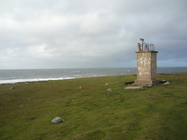
The area contains several features that are often found in proximity to the signal stations. The first is an automated weather station.

The second feature is a well preserved or well maintained ‘Eire’ sign although no traces of an associated Look Out Post were identified, even though one is thought to have been built at Bloody Foreland.
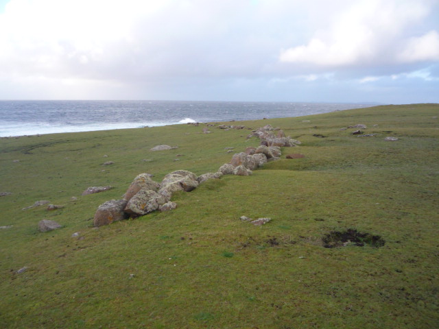
There are also several relic field walls constructed of boulders which are probably of a considerable age. One of these walls is associated with the foundations of a rectangular building.

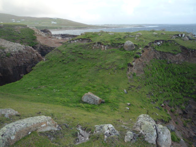
Finally there are traces of a large but heavily eroded promontory fort. The combination of all these features highlights the importance of this location at the north west corner of Ireland.

3 thoughts on “Bloody Foreland Signal Station, County Donegal”