
During this project comprehensive surveys have been made of each of the signal stations in Connacht and Ulster. A variety of methods were used to record plans, elevations and 3D models. The project has produced a vital record of what survives at each of these previously rather neglected sites. The recording was undertaken using a methodology we have termed ‘Zero Budget Archaeology‘ where everyday equipment and free software or demo versions of software were utilised in order to minimise costs. The methodology was developed with the idea that community archaeology or student projects could follow the procedures in other situations.
Arriving at each site the first step was to quickly examine the remains and identify all of the elements that needed to be recorded. Following that a quick plan was prepared using a 30m tape to measure the lengths of walls and the distances between each element. These drawings were subsequently scanned and imported into a student version of AutoCad 2014 and, after comparing the sketch to the aerial images available on Bing Maps, were digitised using a simple series of drawing tools.

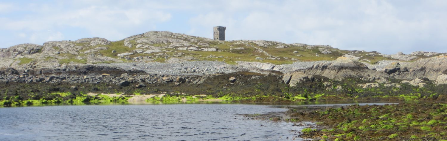
The next step was to photograph all of the surviving elements from multiple angles using a simple digital camera. Of these photographs the most important were a series of shots of the signal towers taken square on to the external and internal walls. These images were imported into Paintshop Pro and modified using the perspective correction tool to adjust for the narrowing of the upper parts of the tower that are unavoidable when taking a photograph of a tall building from ground level. The corrected images were then imported into AutoCad and traced over to create detailed elevation drawings of the internal and external walls of the signal towers.

Another technique utilised at some sites was 3D photogrammetry, where a series of overlapping photographs were taken around a signal tower. These images, of which there could be as many as 50 separate shots, were imported into the free software package 123D Catch which generates a 3D model of the building.
Other software packages were used to create maps of the sites locations and investigate the views available from each site. The free package QGIS was used to create a series of maps that present the sites locations, with individual county maps and a province wide map being generated.

Viewsheds from each site were created using Google Earth Pro. The functionality of this tool is limited as the diameter of the viewshed cannot be altered. However it is possible to set the altitude from which the viewshed is created allowing the viewshed be calculated from the approximate height of the top of each signal tower.

Finally the details recorded during the survey of the Carrowmabla Signal Station were used to create a complex 3D model of a signal tower using the free software package Sketch Up. The model was created using measurements taken directly from the AutoCad illustrations of the signal tower. Despite the apparent complexity of the image, it was a relatively simple if time consuming process to create the model.

This website and the associated interactive map were also created in accordance with the idea of Zero Budget Archaeology, using free accounts at wordpress.com and arcgis.com. The descriptions of each site and the photographs utilised are derived from the field surveys. The elevation drawings are to be presented in a post-graduate thesis and will subsequently be published in a comprehensive account of the Irish Signal Stations.
More details about the Zero Budget Archaeology method can be found in a short article published in the Institute of Archaeologist of Ireland’s winter 2016 newsletter.

One thought on “Recording the Signal Stations”